More than 2,000sq km of British countryside lost to development in six years
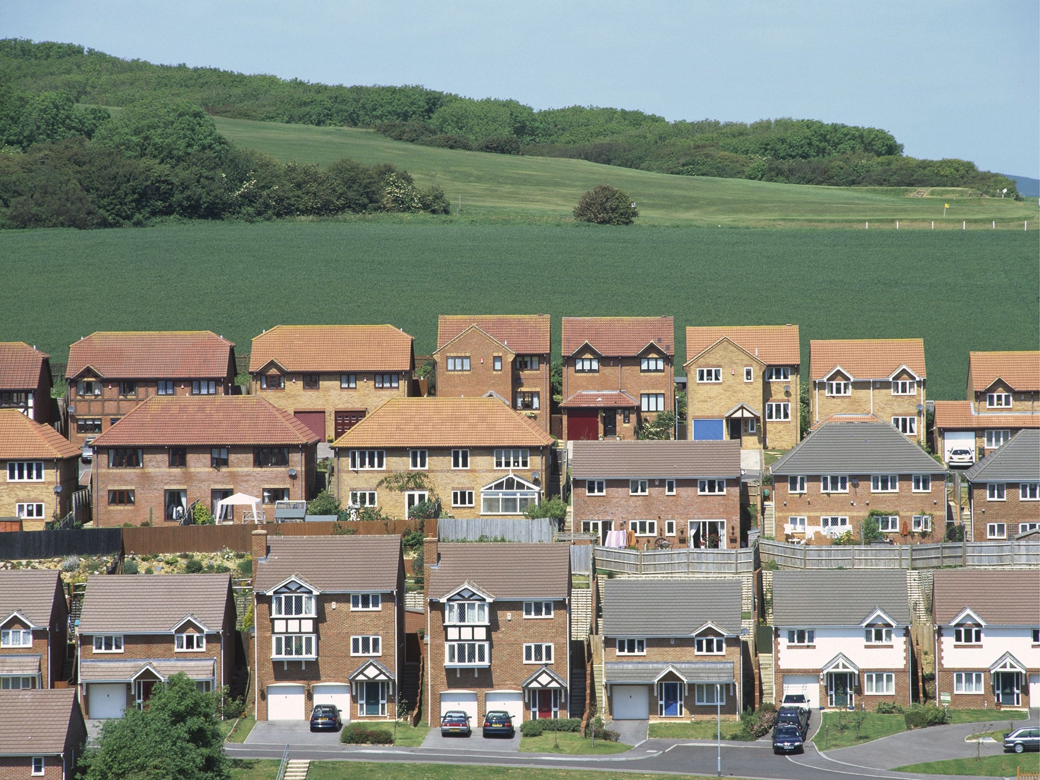
Forests, farmland and wetlands are being cleared to make way for new housing, mineral extraction, golf courses and wind farms

Sign up to the Independent Climate email for the latest advice on saving the planet
Get our free Climate email
More than 2,000sq km of the British countryside has been lost in just six years, with much of it giving way to urban development and resource extraction, according to research which finds the landscape is changing at an alarming rate.
Forests, farmland and wetlands are being cleared to make way for new housing, mineral extraction, golf courses and wind farms, according to a new map detailing the make-up of the ground.
Comparing the latest survey with the previous one, the work reveals that a total of 224,200 hectares – or 2,225sq km – of land was transformed between 2006 and 2012, an area representing about 1 per cent of the UK.
“There has been a significant loss of countryside in the widest sense and that is concerning. There is a lot of development going on in the country,” said Professor Heiko Balzter, of the University of Leicester, who led the research.
“I have come across a lot of anecdotal evidence from people who have seen change happening outside their back door – in the form of housing estates, industrial developments and big motorways,” he added.
He said the widespread loss of wetlands – which perform valuable functions such as storing carbon emissions and preventing flooding – was particularly concerning.
Professor Balzter added that the scale of the transformation is likely to be even higher than is suggested by his map because the satellite imaging used to draw it up does not pick up any changes smaller than five hectares – 50,000sq metres.
“The maps show a need for a more detailed study of the state of our countryside, because of the technical limitations of this mapping approach,” he said.
Neil Sinden, director of policy and campaigns at the Campaign to Protect Rural England, added: “It is particularly concerning that more than 22,000 hectares of rural land have been converted to artificial surfaces.
“These changes to land cover are often just the tip of the iceberg: urbanisation can cause visual and noise disturbance way beyond the immediate footprint of development.”
More than 7,000 hectares of forest, 14,000 hectares of agricultural land and 1,000 hectares of wetlands were converted to make way for urban development between 2006 and 2012, the maps show.
Over the same period, more than 5,000 hectares of arable and pasture land were ripped up to make way for mining, while 3,000 hectares of coniferous forest was cleared for “industrial” development – much of it to make space for wind farms in Scotland.
Meanwhile, more than 100,000 hectares of coniferous forest were lost to clear-cutting, mostly in Wales and Scotland. While new trees were planted over about half of the deforested area to help sustain the timber trade, Professor Balzter noted that “clear-cutting far exceeded replanting of coniferous forest”.
Despite the decline in countryside, agricultural land remains the dominant “land-cover” type in the UK, accounting for 57 per cent of the country. Forest and semi-natural areas comprise 3 per cent, wetlands account for 11 per cent and “artificial surfaces” – essentially residential and commercial development – made up 8 per cent.
Friends of the Earth called on the Government to take the findings of this latest research on board and take “urgent action” to curb development.
“This study reinforces evidence that the way we farm, use and develop land and the loss of forests are key causes of the alarming decline of nature across the UK,” said the Friends of the Earth campaigner Paul de Zylva.
Dr Beth Cole, researcher at the University of Leicester, said, “The production of the map and the detection of land-cover change between 2006 and 2012 shows a continuing trend in the UK landscape of rotation of clear-cutting and regrowth associated with forest management and a growth in artificial surfaces associated with urban expansion.”
Subscribe to Independent Premium to bookmark this article
Want to bookmark your favourite articles and stories to read or reference later? Start your Independent Premium subscription today.
Join our commenting forum
Join thought-provoking conversations, follow other Independent readers and see their replies